
HIGHROC news
Introducing the first images from Sentinel-2
21 Aug 2015
On the 27th of July, experts assembled in Milan to discuss early images of Sentinel-2A and how a variety of operational and scientific applications will be benefiting from the new satellite. Sentinel-2 will help to manage natural resources sustainably by detecting changes to land and water bodies over time. Even though not yet calibrated, the first images of Sentinel-2A have a great potential in mapping sediment transport in coastal and inland waters. Dimity van der Zande was able to present the potential use of Sentinel-2 for marine applications.
Read more about it here: Marine Researchers Welcome Extraordinary Sea Images from New European Satellite.
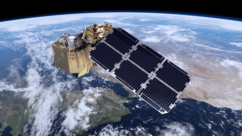
Sentinel-2A was launched on 23 June from the European Spaceport in French Guiana. It’s the second satellite of the Copernicus-program for Earth Observation of the European Space Agency (ESA). Sentinel-2B will be launched in 2016 and together they will be able to provide a 10m resolution image every 5 days for any location on earth. The Multispectral imager (MSI) on board Sentinel-2 is covering 13 spectral bands (443 nm–2190 nm). Designed primarily to be able to observe changes in landscapes and vegetation, the images are also promising for studying inland and coastal waters.
Sentinel-2 (S2) is will form one of the primary sources of data for the HIGHROC project along with Sentinel-3/OLCI and SEVIRI. HIGHROC will use S2 to derive water quality parameters at 10 to 20m resolution. Now that some preliminary data is starting to become available, HIGHROC is hard at work working on algorithm development and image processing for S2.
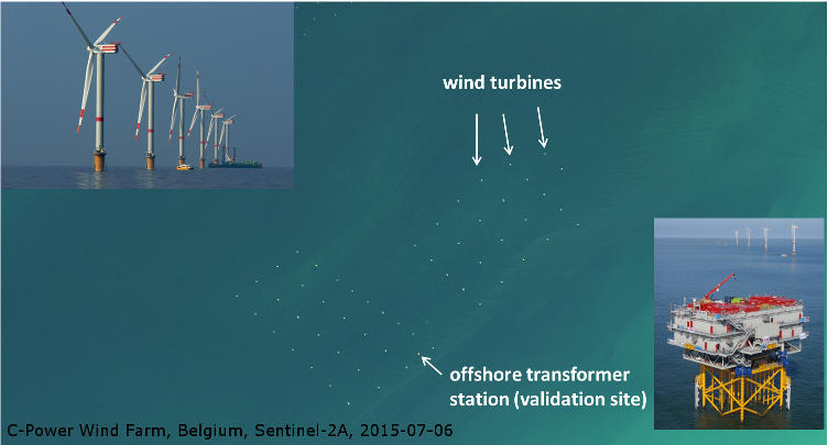
Offshore construction of wind farms is happening at many locations in the North Sea. The construction must be accompanied with an Environmental Impact Assessment. With the increased spatial resolution of satellites such as Sentinel-2A and Landsat-8 it is now possible to see these wind farms from space, and monitor the water quality around the turbines
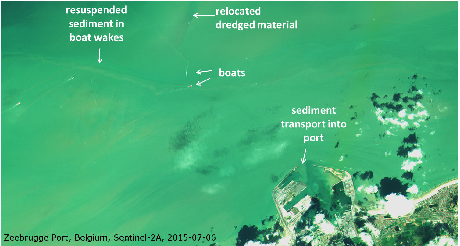
S2 data can also be used for the monitoring of dumped or dredged sediments. The dredging of ports and navigation routes is essential for shipping and economy. Additionally, satellite images of sediment entering the ports are only available from high resolution satellites such as Sentinel-2 and Landsat-8. These images are very interesting for engineers and modellers to better understand the sediment transport in and around the harbour. This type of data will be valuable to calibrate and validate sediment transport models and optimise dredging operations.
You can find more information on Sentinel-2 in this movie.